A Map Guidebook to the Au Sable River
$14.99 Avenza Map Store Link
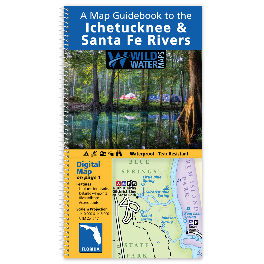
Printed maps and digital maps complement each other when exploring an area or going on a multi-day trip. Consider using both on your next trip.
The Avenza Maps app offers digital versions of individual Wild Water Maps. Digital maps can be used on your mobile device, with or without an internet connection. The blue dot follows you wherever you go, so you can pinpoint your location, zoom in and out, navigate from place to place, mark points of interest, and much more.
Visit the Avenza Map Store to purchase a digital map or for more information. The map requires a free download of the Avenza Map App to use.