The printed map contains additional content not available in the digital map, including:
A coordinate list of every waypoint on the map, illustrations of common tree species, additional info on springs, paddling conditions at different water levels, a paddling equipment checklist, boating regulations, fishing regulations, contact information of local businesses and administrative offices, and more.
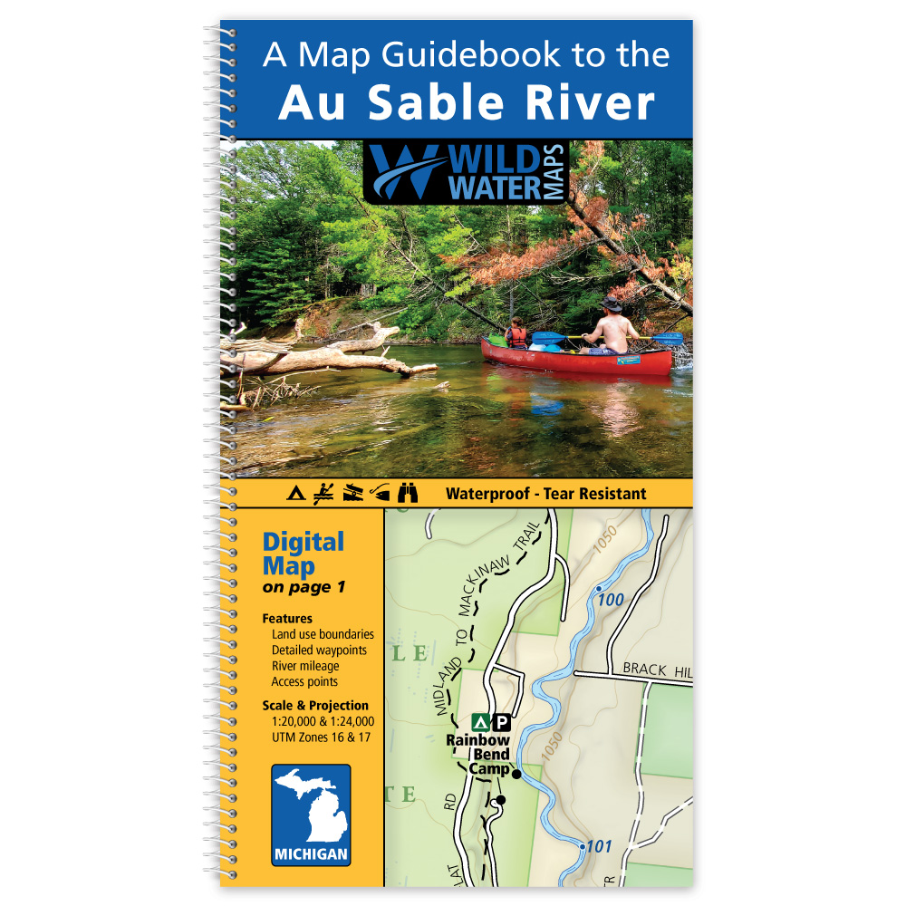
Map Features:
- Professionally designed topographic maps with contour lines, roads, trails, water features, and boundaries.
- Includes river mileage, boat ramps, kayak/canoe launches, camping, picnic areas, parking, and restrooms.
- Spring locations with detailed descriptions of each karst feature and popular swimming holes.
- Public land boundaries let you know where you can get off your boat and help you avoid private property.
A Map Guidebook to the Ichetucknee & Santa Fe Rivers
$14.99 Avenza Map Store Link
Printed maps and digital maps complement each other when exploring an area or going on a multi-day trip. Consider using both on your next trip.
The Avenza Maps app offers digital versions of individual Wild Water Maps. Digital maps can be used on your mobile device, with or without an internet connection. The blue dot follows you wherever you go, so you can pinpoint your location, zoom in and out, navigate from place to place, mark points of interest, and much more.
Visit the Avenza Map Store to purchase a digital map or for more information. The map requires a free download of the Avenza Map App to use.